Infrastructure

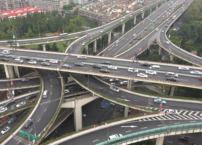
Helping you Meet the Demand for Infrastructure Growth and Development
In today's fast changing world, moving people and resources safely and efficiently is a global priority. We support your transportation and infrastructure projects with proven, timely and cost-effective solutions.
Representative Services:
∙ Corridor Mapping - Aerial and Terrestrial LiDAR/3D Laser Scanning
∙ Topographic Surveys
∙ Facility surveys for design, property audits, or analysis
∙ High-accuracy Georeferenced Planimetric CADD Drawings
∙ High-accuracy Georeferenced 3D Topographic CADD Drawings
∙ Orthophotography
∙ 3D Digital Terrain Models (DTM)
