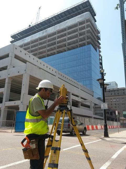
Land Surveying Services

We provide a full range of professional Land Surveying services
∙ LiDAR/3D Laser Scanning / BIM Surveys
∙ Facility Mapping / Digital Twin
∙ Space Utilization/Allocation & Space Optimization Surveys
∙ Topographic / Mapping Surveys
∙ Design / Engineering Surveys
∙ ALTA/NSPS Land Title Surveys
∙ GLO and Forestry Surveys
∙ FEMA / Elevation Surveys, LOMA, LOMR
∙ Infrastructure Route and ROW Surveys
