Aerial Mapping

UAV Mapping, Orthophoto and Aerial Imagery
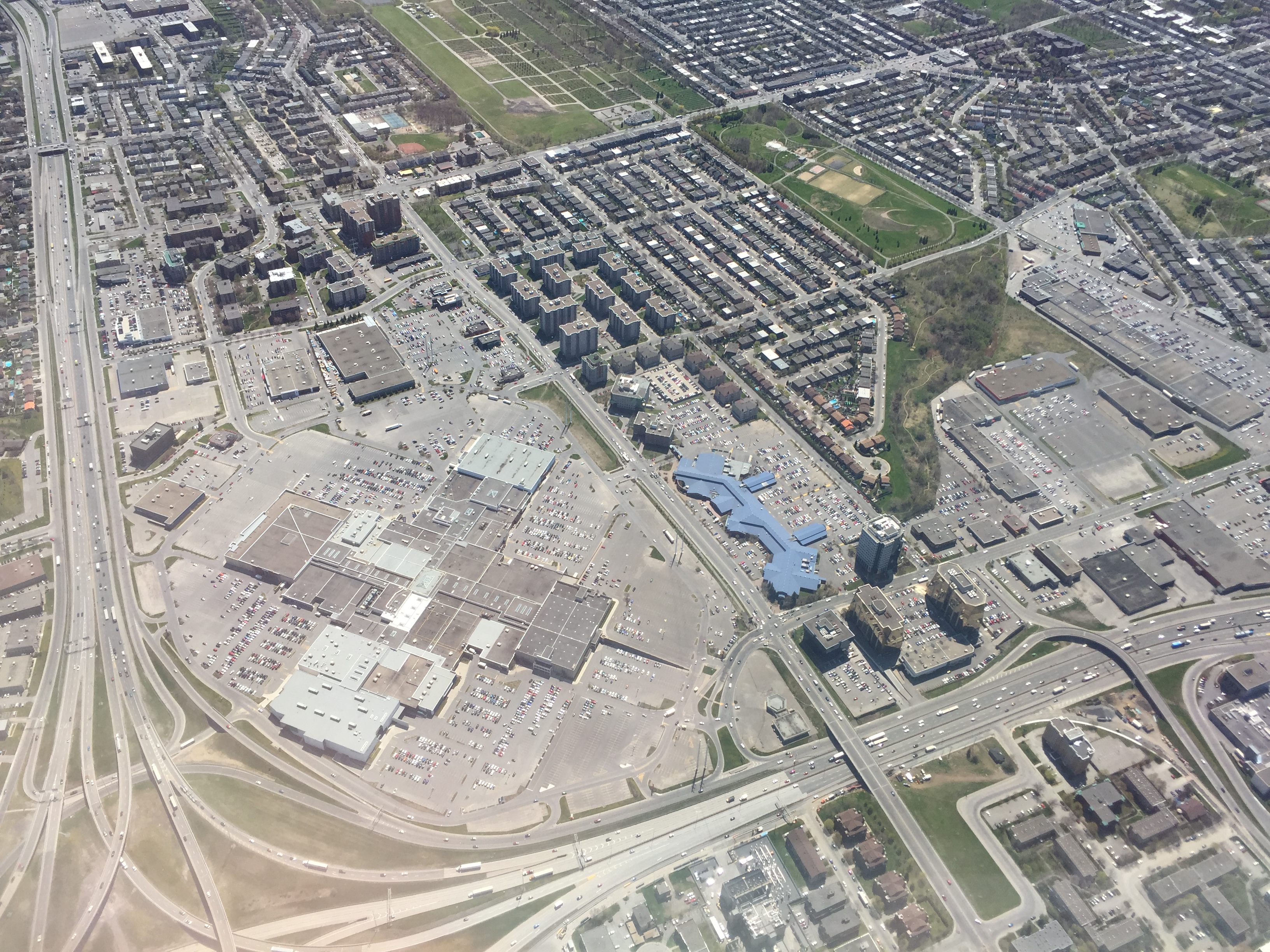
Raven Geomatics has been an industry leader in the adoption and deployment of UAV mapping solutions. Our unmanned aerial vehicle-based mapping teams rapidly produce high-accuracy deliverables for a variety of applications. Utilizing our proprietary workflow, we can accurately and efficiently create actionable data for contour maps, 3-D modeling, the preparation of design plans, existing conditions documentation, point clouds, heritage preservation, volume calculations and much more.
Some of the high-quality photogrammetric deliverables we provide include:
∙ Georeferenced LiDAR Point Clouds
∙ Georeferenced 3D Topographic CADD Drawings
∙ Georeferenced Planimetric CADD Drawings
∙ Legal Exhibits
∙ Volume Calculations
∙ Digital Elevation Models (DEM)
∙ 3D Digital Terrain Models (DTM)
∙ High-resolution Orthophotos
